GIS (Map) Web Developer


Service Description
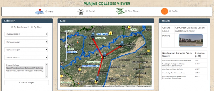
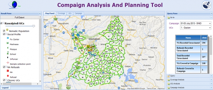
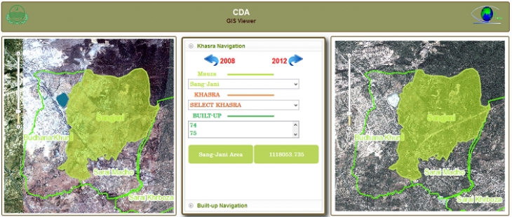
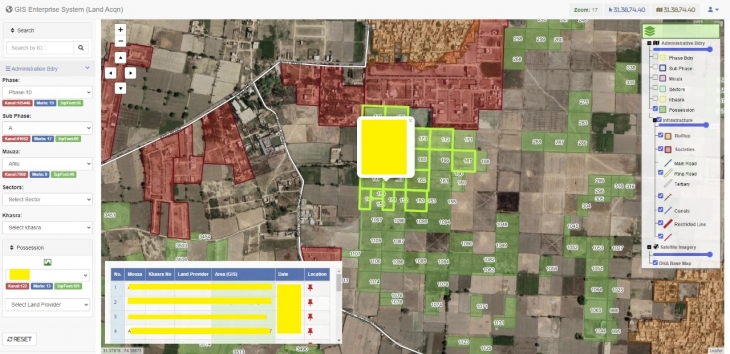
Hello! Are you in need of a cutting-edge GIS-based web solution tailored to your company's needs or personal requirements? Look no further! I'm Muhammad Sohail, a skilled GIS Web Developer specializing in creating dynamic GIS web dashboards and progress monitoring websites, along with GIS map-based portals.
With a strong foundation in Geographic Information Systems (GIS) technology and extensive experience in web development, I am well-equipped to bring your vision to life. Whether you're aiming to track progress, visualize data geospatially, or create an interactive map-based portal, I am here to exceed your expectations.
Let's collaborate on your project and craft a flawless web solution that not only meets but surpasses your expectations. Get in touch, and let's transform your ideas into a reality!
Technology Used
In crafting robust Web GIS solutions, I leverage a comprehensive toolkit of cutting-edge technologies to ensure optimal performance, functionality, and user experience. Here are the key technologies I utilize:
GIS Platforms: I harness the power of leading Geographic Information System (GIS) platforms such as Esri ArcGIS, QGIS, and GeoServer to manage, analyze, and visualize spatial data effectively.
Web Development Frameworks: I utilize popular web development frameworks like Django, Flask, and Node.js to build scalable and efficient backend infrastructure for Web GIS applications.
Frontend Technologies: For crafting intuitive user interfaces and interactive map-based experiences, I employ frontend technologies such as HTML5, CSS3, JavaScript (including libraries like Leaflet.js and OpenLayers), and Vue.js or React.js.
Database Management: I implement robust database management systems like PostgreSQL, MySQL, or MongoDB to efficiently store and manage spatial data, ensuring quick retrieval and seamless integration with Web GIS applications.
API Integration: I integrate various APIs, including mapping APIs like Google Maps API and geocoding services like Mapbox Geocoding API, to enhance the functionality and geospatial capabilities of Web GIS solutions.
Data Formats: I work with a wide range of spatial data formats, including GeoJSON, Shapefile, KML, and GeoTIFF, ensuring compatibility and seamless data exchange within Web GIS applications.
By employing this advanced stack of technologies, I deliver high-performance and feature-rich Web GIS solutions tailored to meet the unique needs and requirements of each project.
Frequently Asked Questions
Is my Web GIS solution optimized for efficiency?
Absolutely! Your Web GIS solution is meticulously crafted to ensure optimal performance and efficiency. Leveraging the latest technologies and best practices in Web GIS development, I guarantee that your dashboard, progress monitoring website, or map-based portal is finely tuned to handle spatial data seamlessly. With a focus on user experience and data visualization, your Web GIS solution will empower you to make informed decisions swiftly and effectively.
Share This Service


